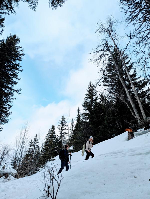

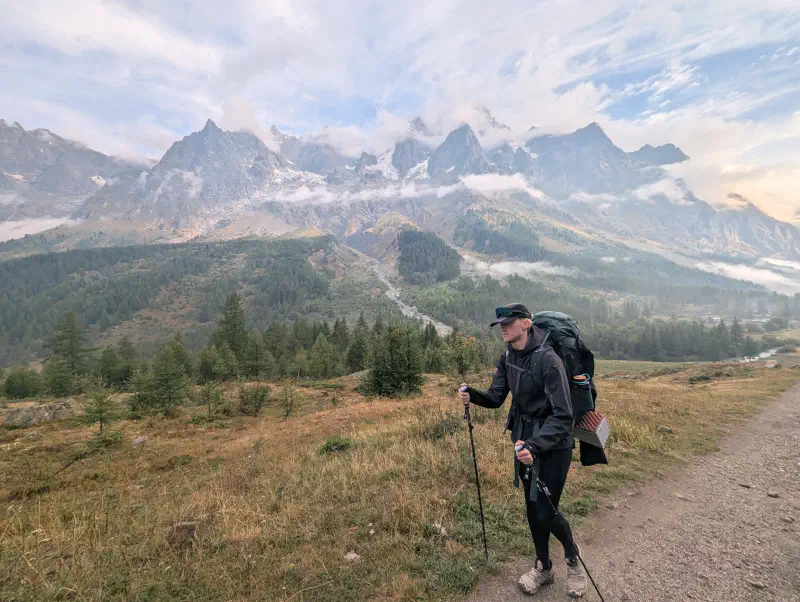
At the end of last August, five of us completed the Tour du Mont Blanc: my girlfriend, my brother, my sister and her boyfriend, and myself. It was our first multi-day trek in full autonomy, carrying tents and a stove. The classic TMB route crosses three countries—France, Italy, and Switzerland—around the Mont Blanc massif, covering about 170 km.
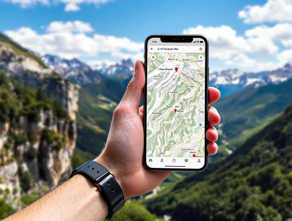
For planning, my sister mapped the route on Mapy.com. I then imported the GPX track into OsmAnd, which I use in the field for its offline accuracy and topographic rendering, perfect for the mountains. I talk more about these apps in my article on map applications.
Accommodation#
We camped every night. Most of our meals were cooked on the stove, which allowed us to remain autonomous throughout the trek and keep costs down. Wild camping is tolerated near many refuges along the TMB, sometimes for a small fee. In Italy, it is forbidden below 2,500 m.
Itinerary#
Day 1: Saturday, August 23 — Departure and Ascent to Le Champel#
We started walking in the early afternoon, leaving from Les Houches as is traditional. We reached the Col de Voza, then descended to Les Contamines before continuing into the nature reserve along the Miage stream. The goal for this half-day was to get a head start for the next day.
We pitched the tent near Le Champel, not far from the Refuge du Truc. The first night was short, but spirits were high. There were five of us, our packs were heavy, but the excitement of the start made up for everything.
First meal cooked on the stove under the tent that evening—a real moment of sharing to kick off the adventure.
Day 2: Sunday, August 24 — Le Champel → Col du Bonhomme#
In the morning, we continued towards Notre-Dame-de-la-Gorge and then the Refuge de la Balme. From there, the climb steepens up to the Col du Bonhomme (2,329 m), the first real pass of the TMB. The view from the pass is impressive, overlooking the Jovet lakes and the Roches Merles.
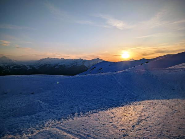
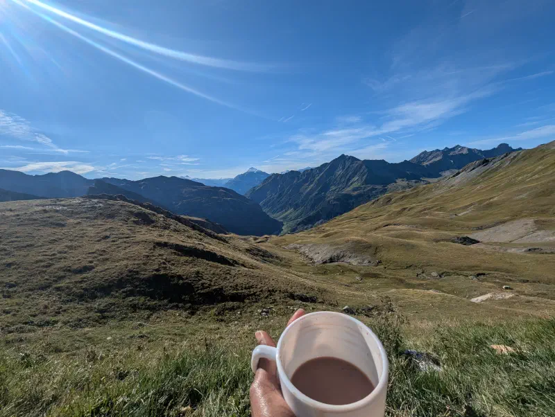
We pushed on to the Col de la Croix du Bonhomme (2,467 m), where we set up camp. The evening was chilly at this altitude, but the sky was clear. Starry night views.
Day 3: Monday, August 25 — Col du Bonhomme → Col de la Seigne#
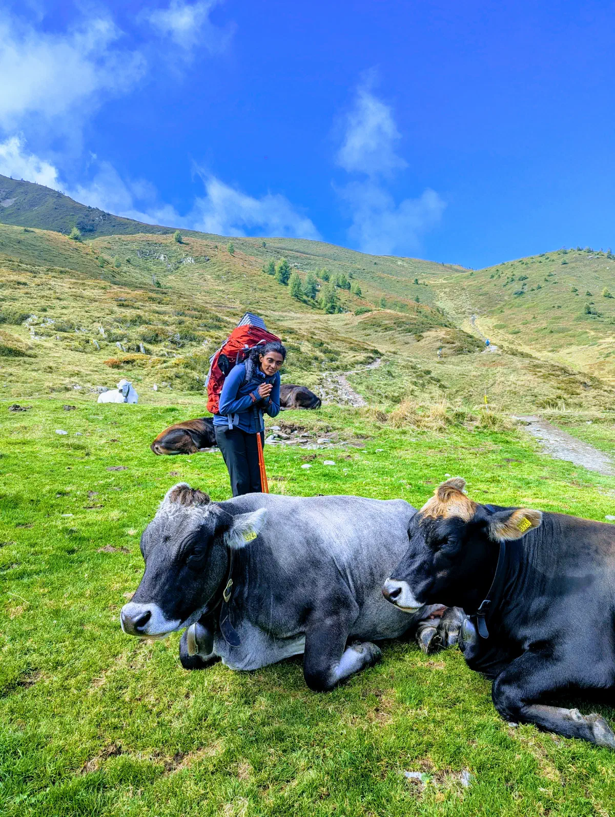
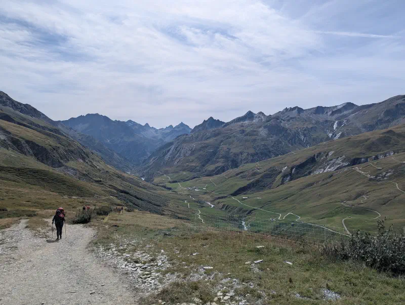
We descended to Les Chapieux, then headed for La Ville des Glaciers. We encountered our first guard dogs (patous), which protect the flocks and must be approached with caution. The trail then climbs gradually to the Refuge des Mottets, the last stop before the Italian border.
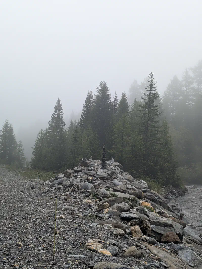
A few switchbacks later, we reached the Col de la Seigne (2,516 m), the border between France and Italy. A cairn marks the entrance to Val Vény. We camped near the pass, on the Italian side. The view of the Pyramides Calcaires and the Grandes Jorasses at sunset was unforgettable.
Shortly after dinner at the pass, we were lucky enough to spot a herd of ibex—a unique and magical moment that will stay with us forever.
Day 4: Tuesday, August 26 — Col de la Seigne → Camping Grandes Jorasses#
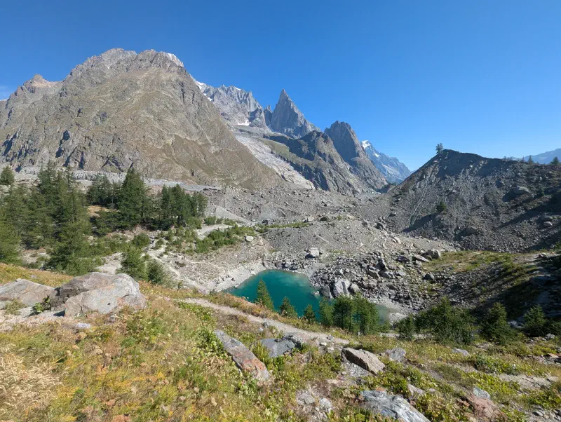
We descended the Italian Val Vény, passing Lake Combal and the ruins of the Arp Vieille alpine pasture. The balcony trail offers superb views of the Italian side of Mont Blanc. After the Maison Vieille refuge, the descent to Courmayeur is long and not very pleasant, especially with a heavy pack.
From Courmayeur, we continued into the Val Ferret. We stayed at Camping Grandes Jorasses, a few kilometers from Courmayeur. The campsite was a welcome break: hot showers and a chance to buy some supplies in town.
Day 5: Wednesday, August 27 → Alpage de la Peule#
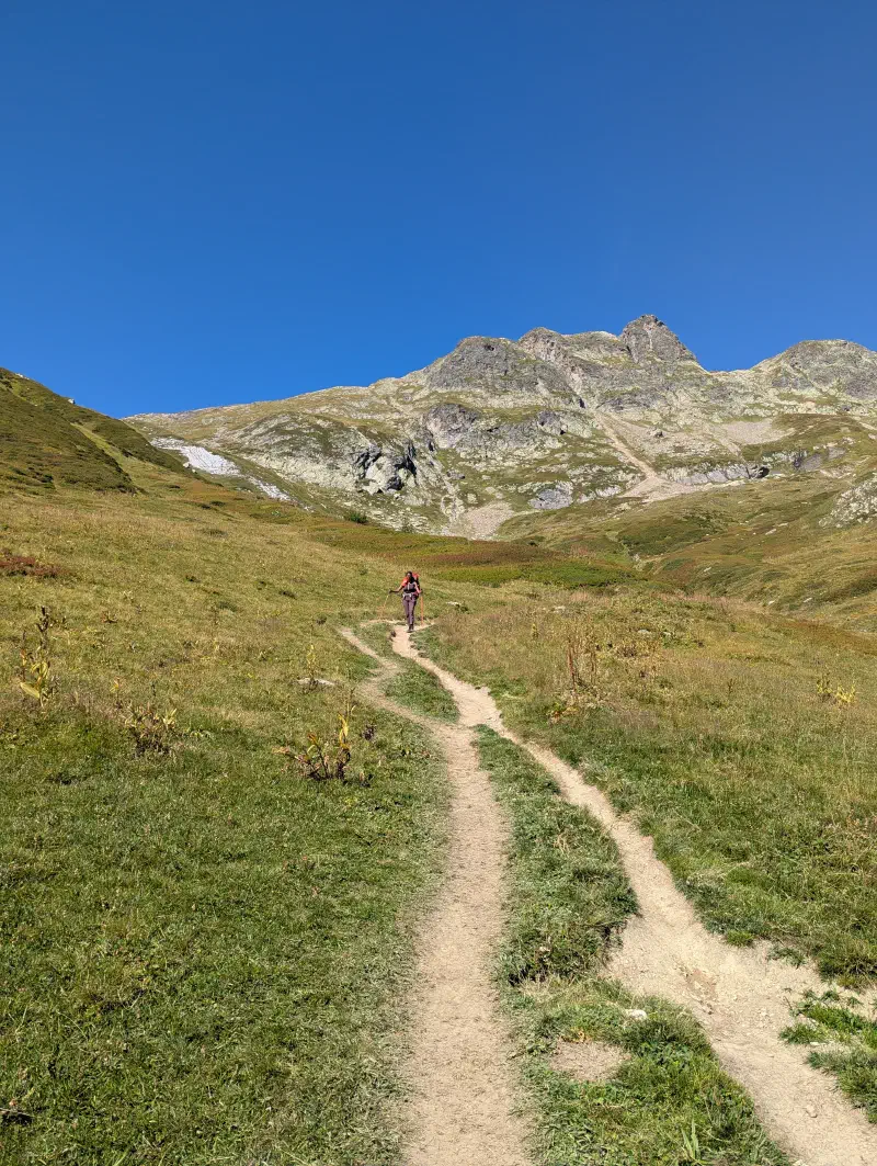
We continued through the Italian Val Ferret, passing the Elena refuge tucked under the Pré de Bar glacier. Then, the climb to the Grand Col Ferret (2,537 m) is steep but short. This pass marks the Italian-Swiss border. On the other side, the view over the Swiss Valais is magnificent, with the Grand Combin and the Aiguille de Triolet in the background.
The descent to Ferret is long. We continued to the Peule alpine pasture to pitch the tent. The place is peaceful, with cowbells in the background. Meals on the stove were starting to become routine.
Day 6: Thursday, August 28 → Camping Les Rocailles (Champex)#
The day started in the rain. We walked from La Peule towards Champex, but the weather didn’t improve. We decided to take the bus to Champex-Lac to get shelter more quickly.
We stayed at Camping Les Rocailles in Champex. A hot shower and a warm meal were very welcome after being soaked all day. It was also a chance to dry our gear before the final stretch.
Day 7: Friday, August 29 → Alpage de Bovine → Night Descent#
Last day of hiking, and not the easiest. From Champex, we climbed to the Bovine alpine pasture, then towards the Col de la Forclaz and the Refuge du Col de la Balme.
The climb after Refuge Le Peuty was shared with CCC race runners, adding a special and sporty atmosphere to this last big ascent.
We arrived at the Refuge du Col de la Balme quite late in the evening. It was full—no room to sleep or pitch the tent nearby.
We had no choice but to descend by headlamp. The night descent to the cable car station was long and exhausting, our headlamps lighting the wet trails. We finally found a spot to pitch the tent near the cable car. A short and restless night.
Day 8: Saturday, August 30 — End of the Descent and Return#
In the morning, we finished the descent to the valley, legs heavy but spirits high. From there, we took the train home. The TMB was behind us—not in its most idyllic form, between the rain and the night descent, but we had finished it.
Conclusion#
Eight days, three countries, about 170 km on foot, with tents and a stove. Five backpacks, five pairs of legs, and a GPX track that guided us all the way. The Tour du Mont Blanc is an accessible but demanding trek, especially in full autonomy. The stages are long, the total elevation gain is around 10,000 m, and the weather at the end of August can be unpredictable.
The night at the Col du Bonhomme under the stars and crossing the Col de la Seigne are among our best memories. The night descent from the Col de la Balme, less glorious, but it’s part of the trek.